
We left Barnard’s Point headed for Deception Island. The wind was rising when I finally got my hands on the wheel under sail. I wrote rapturously about it at the time: I’ve helmed a lot more since then, and it never stopped being a blast. We came towards the hills as the sun flared above them at the start of the long twilight.
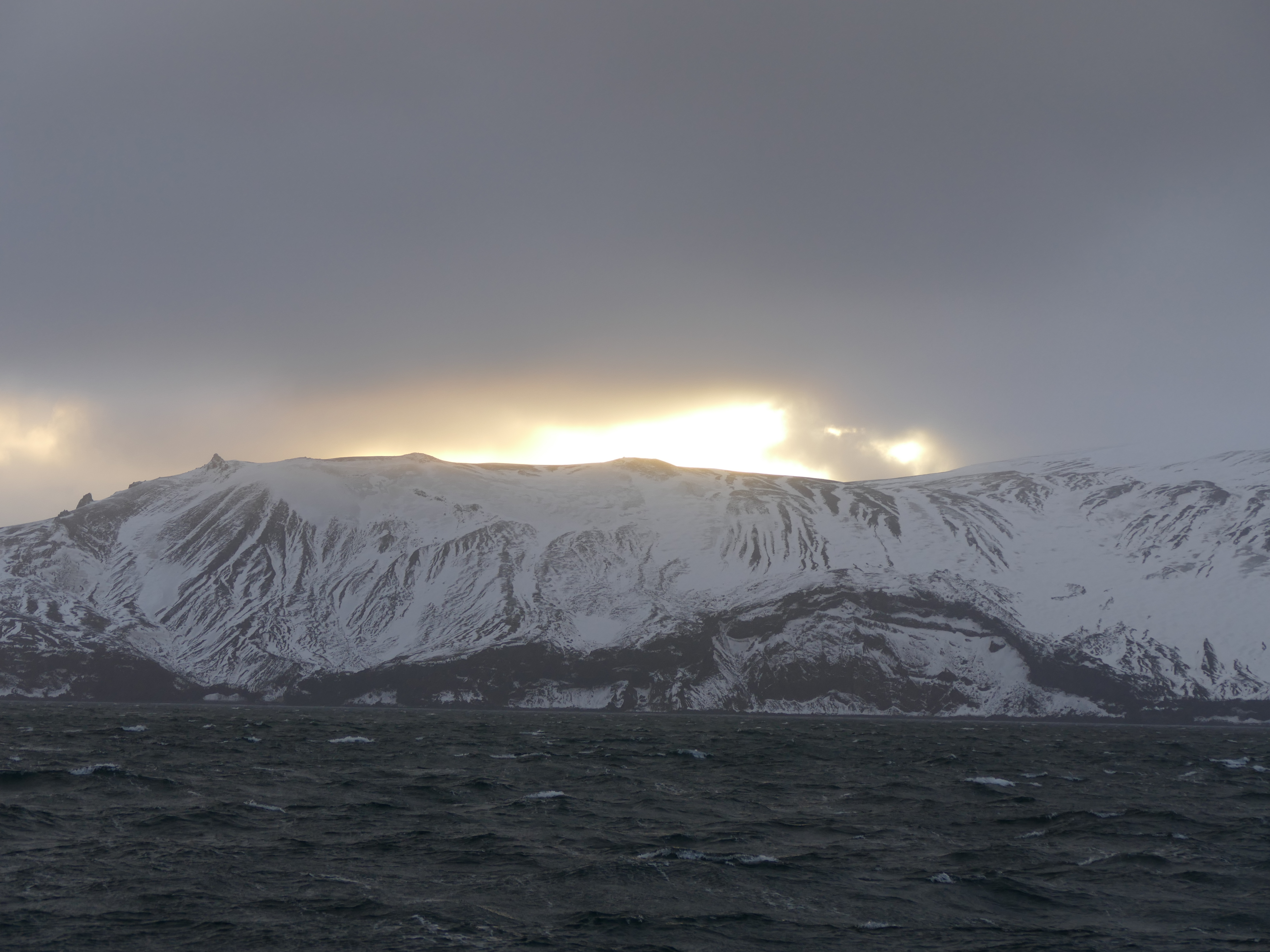
You can see from the charts that Deception Island sits out on its own a little bit, and is another caldera. (In case you are not used to reading charts, the brown areas are land, the blue shallower water and the white is really deep.) This one, though, is active, with the latest recorded eruptions in 1956, 1967, 1969, 1970 and 1972. You might well think another one is due. Round Port Foster, which is 5 nautical miles long and 3.5 wide, is a ring of hills, of which Mount Pond on the east is highest at 542m. The whole island is made of lave and cinders but above 100m it is dominated by glaciers and ash-covered ice.


The island is called Deception perhaps because it is often a lot windier on the inside than outside, largely because katabatic winds sweep down from those heights and swirl around inside the basin. Our original intention was to sail through the entrance at Neptune’s Bellows, which lies beyond the stack-rock in the picture, and anchor inside. When we arrived, though, the wind was continuing to rise, having reached about 45 knots and it was turning into a nasty murky evening. Instead, we anchored just outside, tucked into the lee of the cliff south of the Sewing Machine Needles, three stack rocks standing proud of Baily Head.
It was still a tricky anchorage, with big gusts of wind and uncertain holding. Harko took a profound personal interest in the set of the anchor, spending a long time studying the chain, transits with the land and the way Europa was lying. We kept a sharp anchor watch that night.


